Oil & gas
Screen the whole block. Drill the part that matters.
Full-acreage hydrocarbon screening in 2 to 3 months, without a single crew in the field.
A dry well costs crores.A second opinion costs a fraction of one.
Independent satellite-based verification of your prospect inventory before the drilling decision is signed.
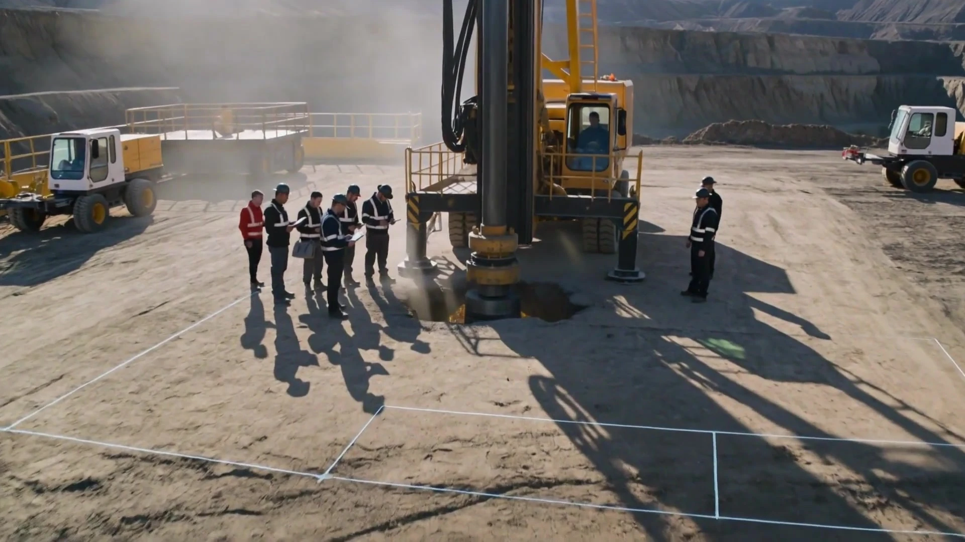
Where VMF fits
Pre-bid screening
Screen acreage during the tender window so the bid reflects what is under it.
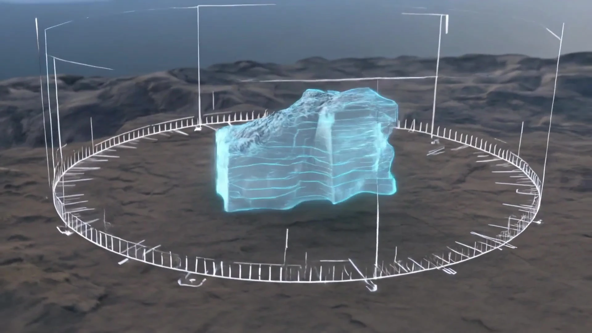
Where VMF fits
Greenfield exploration
Frontier acreage, including Category II and III basins, ranked before a programme is committed.

Where VMF fits
Brownfield extension
The acreage around producing blocks, where the infrastructure is already paid for, read for untapped intervals.
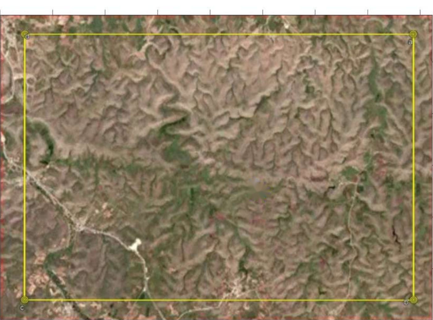
Where VMF fits
Rescanning legacy ground
Held blocks last assessed on older data, reassessed to depth.
Case study
Çalik Petrol — hydrocarbon survey, Turkey
100 km² surveyed · anomaly resolved across 16 km² · modelled to 1,900 m · elements C, H, S, N · Turkey, 2019.
Loading survey data…
0.00 km²
Anomaly area
0.0%
Of survey area
0%
Peak intensity
0.0%
Mean above cut-off
Marked cut-offs are the ones published in the report. Everything between them is interpolated from the same measured field.
Drag to rotate · scroll to zoom
Loading volume…
0
Voxels shown
900 m
Body top
1,900 m
Body base
The block is the modelled body from the report. Colour follows the same intensity scale as the 2D figures.
Depth structure decoded from the 29 vertical cross-sections published in the survey report; lateral extent constrained to the published 2D intensity map. Block 5,385 × 1,857 m, modelled between 900 and 1,900 m.
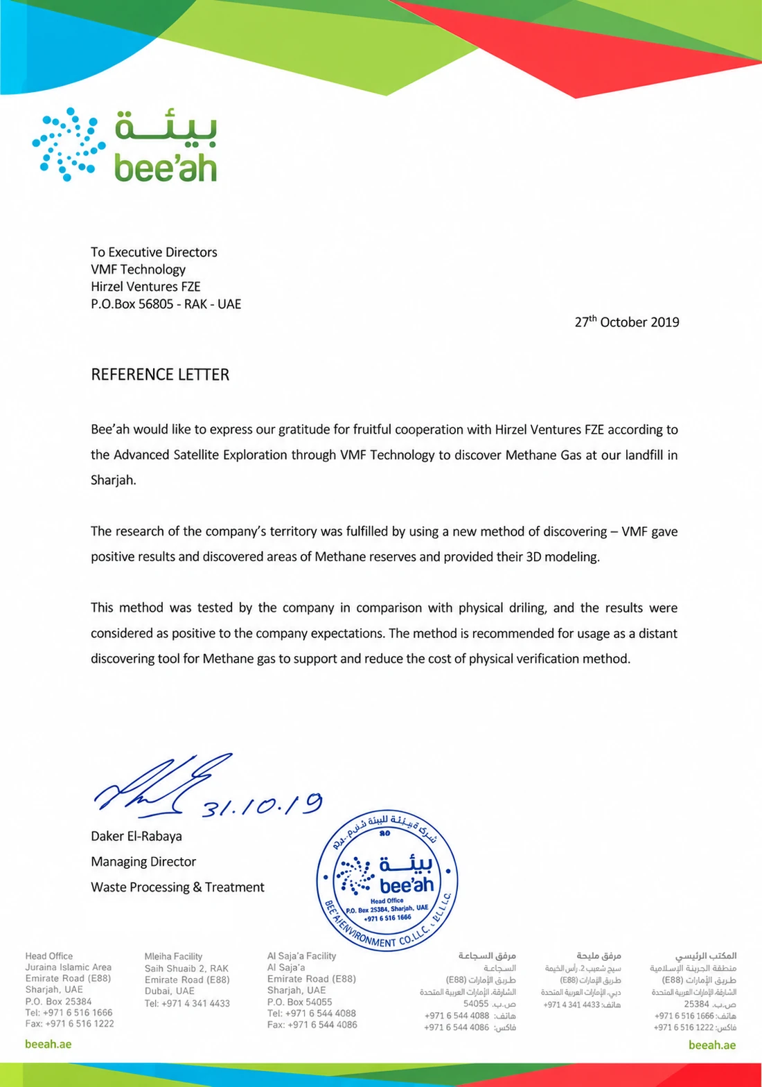
Verified against drilling
Checked against the drill bit.
At bee'ah's landfill in Sharjah, the survey was not left as a model on a screen. The client tested it on its own site, against physical drilling.
The comparison was made by the client, on ground it knows better than anyone. This is its own record of the outcome.
“This method was tested by the company in comparison with physical drilling, and the results were considered as positive to the company expectations.”
Deliverables
What the survey gave them.
Signature coverage across the whole 100 km² licence, not only along survey lines
The ground worth committing budget to narrowed from 100 km² to roughly 16 km²
Depth resolved to 1,900 m, so target intervals could be planned before anything was mobilised
Drilling coordinates delivered as a 3D model carrying depth and volume, not a structural interpretation to be worked up afterwards
Two to three months from tender to model, with no crews, access tracks or source points on the ground
Category II and III acreage assessed on the same basis as a producing block
Also surveyed
Bee'ah · United Arab Emirates
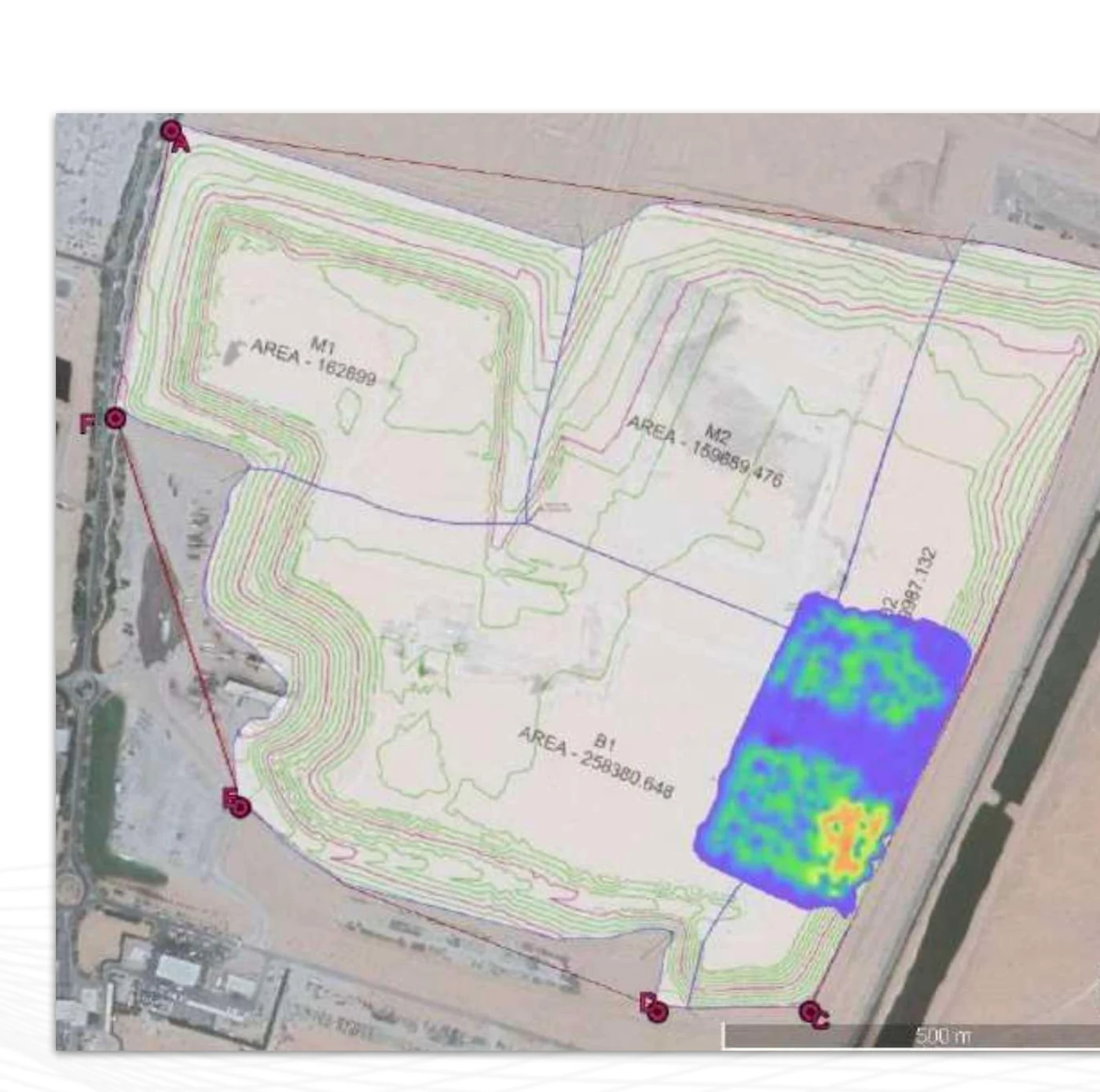
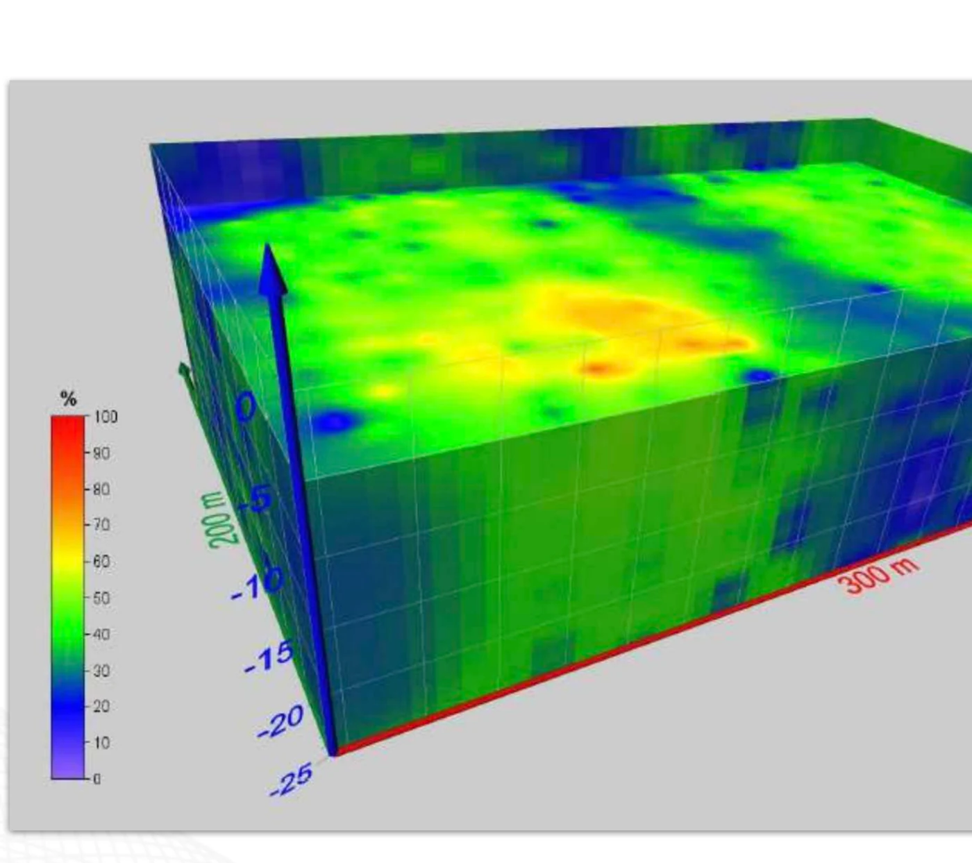
A 70 km² landfill surveyed for methane on behalf of Bee'ah, the Sharjah government waste management entity, with the gas concentration modelled in three dimensions to 25 m depth.
What arrives at the end of a survey.
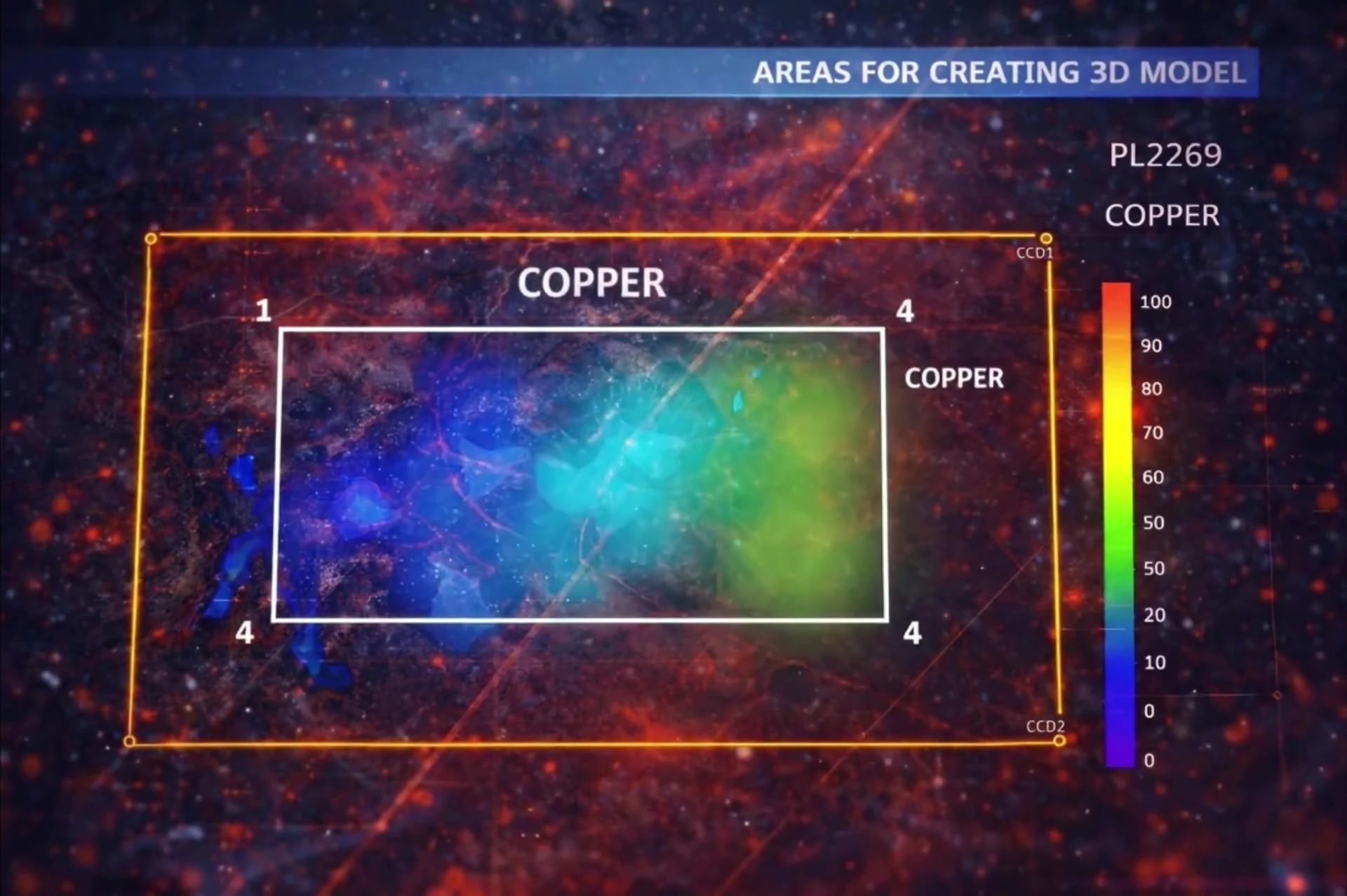
2D stage
- A georeferenced concentration map across the full licence area
- Intensity plotted 0–100%
- The area recommended for 3D modelling
3D stage
- A depth model of the selected block
- Volume estimate for the modelled body
- Drilling reference points with coordinates
- A written report
Typical turnaround, tender to 3D model: two to three months.
Reduce the number of wellsit takes to find the field.
Spectral detection narrows the target area before mobilisation, improving the success ratio on every rupee of drilling capital.
Trusted by





Start a survey